How to Choose the Best LiDAR for Your Projects: A Comprehensive Guide
Ana Rouxinol
Selecting the right LiDAR system for your project can make the difference between success and unnecessary setbacks. With so many options on the market, understanding what to look for can feel overwhelming. Whether you're working on surveying, forestry, construction, or renewable energy, this guide will help you make an informed decision.
Why Choosing the Right LiDAR Matters
LiDAR technology has become essential in industries that require precise mapping and data collection. However, not all LiDAR systems are created equal. The right system for one application might only work for one application. Choosing the right LiDAR could save time, money, and resources.
This post will explore the factors you should consider when choosing a LiDAR system to ensure it meets your project needs.
1. Understand Your Project's Requirements
Before diving into technical specifications, start by assessing the unique needs of your project:
- What is the terrain like? Is it urban, forested, mountainous, or open fields?
- What is the purpose of your project? Are you conducting a topographic survey, inspecting infrastructure, or working in construction or forestry?
- What level of detail do you need? Projects like utility inspections may require highly detailed point clouds, while broader mapping projects might prioritize speed over density.
- What's your budget? Some LiDAR systems offer premium features that may be optional for your application.
2. Key Factors to Consider When Choosing a LiDAR
Once you understand your project's scope, here are the key technical considerations:
a. Accuracy and Precision
- High accuracy is crucial for industries like construction and infrastructure inspections.
- Look for systems that provide survey-grade accuracy, typically within a few centimeters.
b. Range and Field of View (FOV)
- If your project involves large-scale mapping (like forestry or wind farms), choose a system with a long-range and wide field of view.
- For close-range applications, such as interior mapping or small-scale projects, prioritize compact and lightweight systems.
c. Point Density and Scan Speed
- High point density is essential for capturing fine details in utility lines or densely vegetated regions.
- Systems with high pulse repetition rates (PRR) can scan millions of points per second, offering a faster and more detailed survey.
d. On-Site Processing vs. Cloud Solutions
- On-site processing allows you to analyze your data immediately in the field, saving time and ensuring quality before leaving the site.
- Cloud-based solutions require internet access, which can be challenging in remote locations.
e. Portability and Ease of Use
- Lightweight and portable systems are ideal for drone or handheld applications.
- Consider the software interface: Is it user-friendly? Can you process data without advanced technical knowledge?
3. Choose the Right Platform
LiDAR systems can be mounted on various platforms. Your project will dictate which is best:
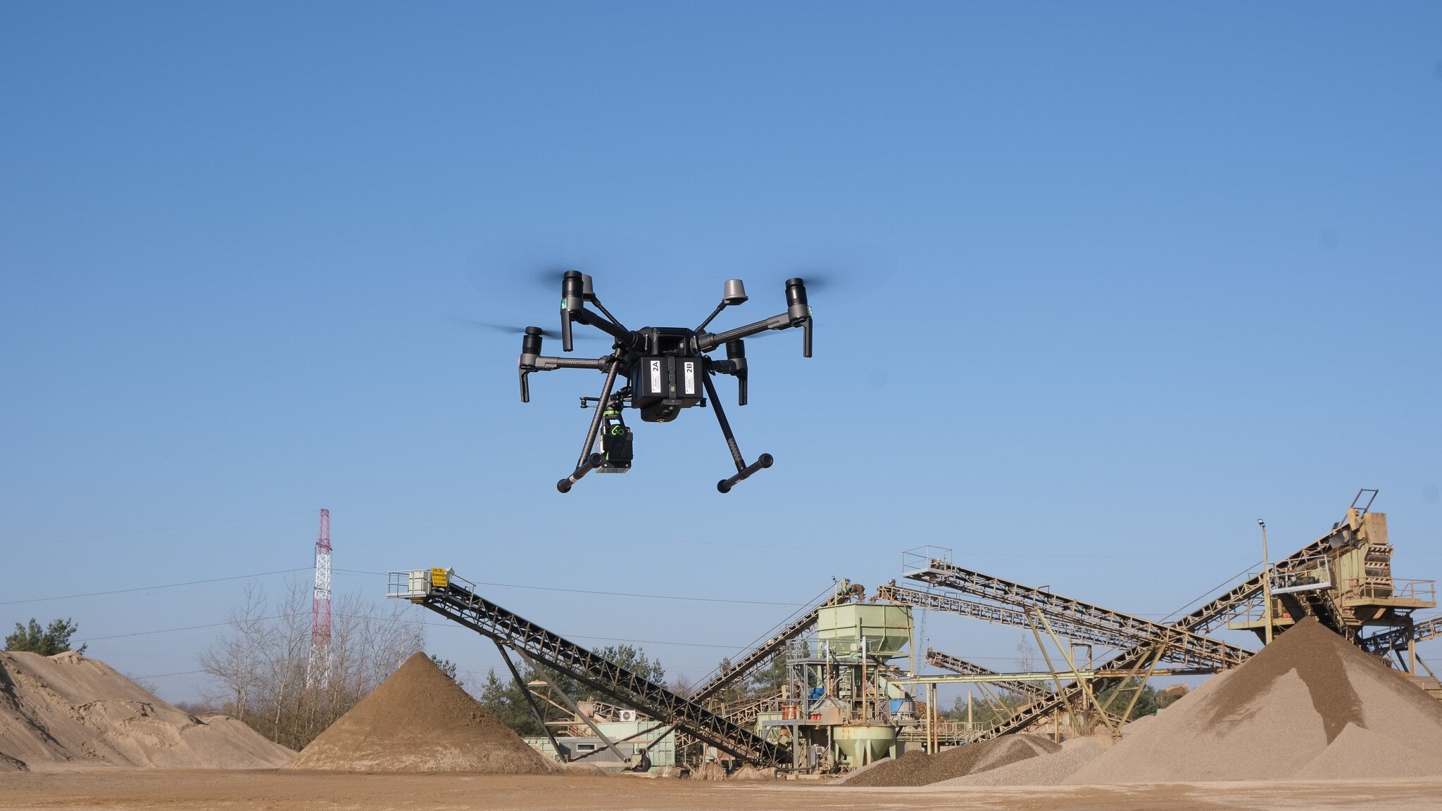
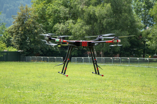
- Drones (UAVs): Ideal for aerial mapping of large or hard-to-reach areas like forests, construction sites, or disaster zones.
- Vehicles: Useful for mobile mapping in urban environments or along highways.
- Tripods: Suitable for ground-based surveys where stationary data capture is needed.

4. Real-Life Applications of Choosing the Right LiDAR
- Forestry Management: A forestry team is needed to map dense tree canopies. They successfully mapped the forest by selecting a LiDAR system with intense vegetation penetration, saving time and costs.
- Construction: A surveying company equipped with on-site processing LiDAR saved weeks on a large-scale project by immediately generating accurate point clouds.
5. Future-Proof Your Investment
The LiDAR market is evolving with advancements like AI-enhanced classification and edge processing. Choose a system compatible with emerging technologies to stay ahead of the curve.
Why Aerial Precision Is the Ideal Choice
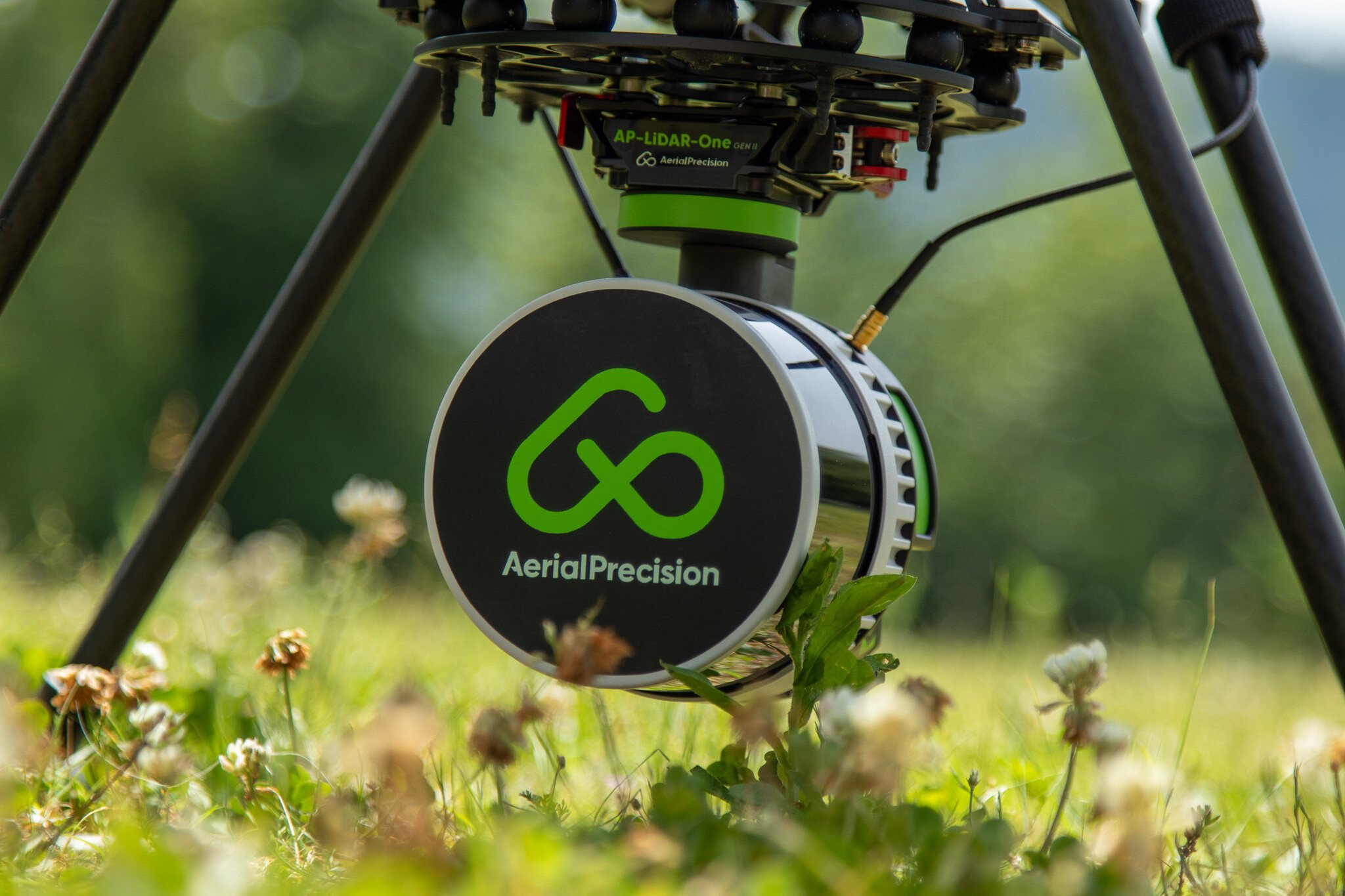
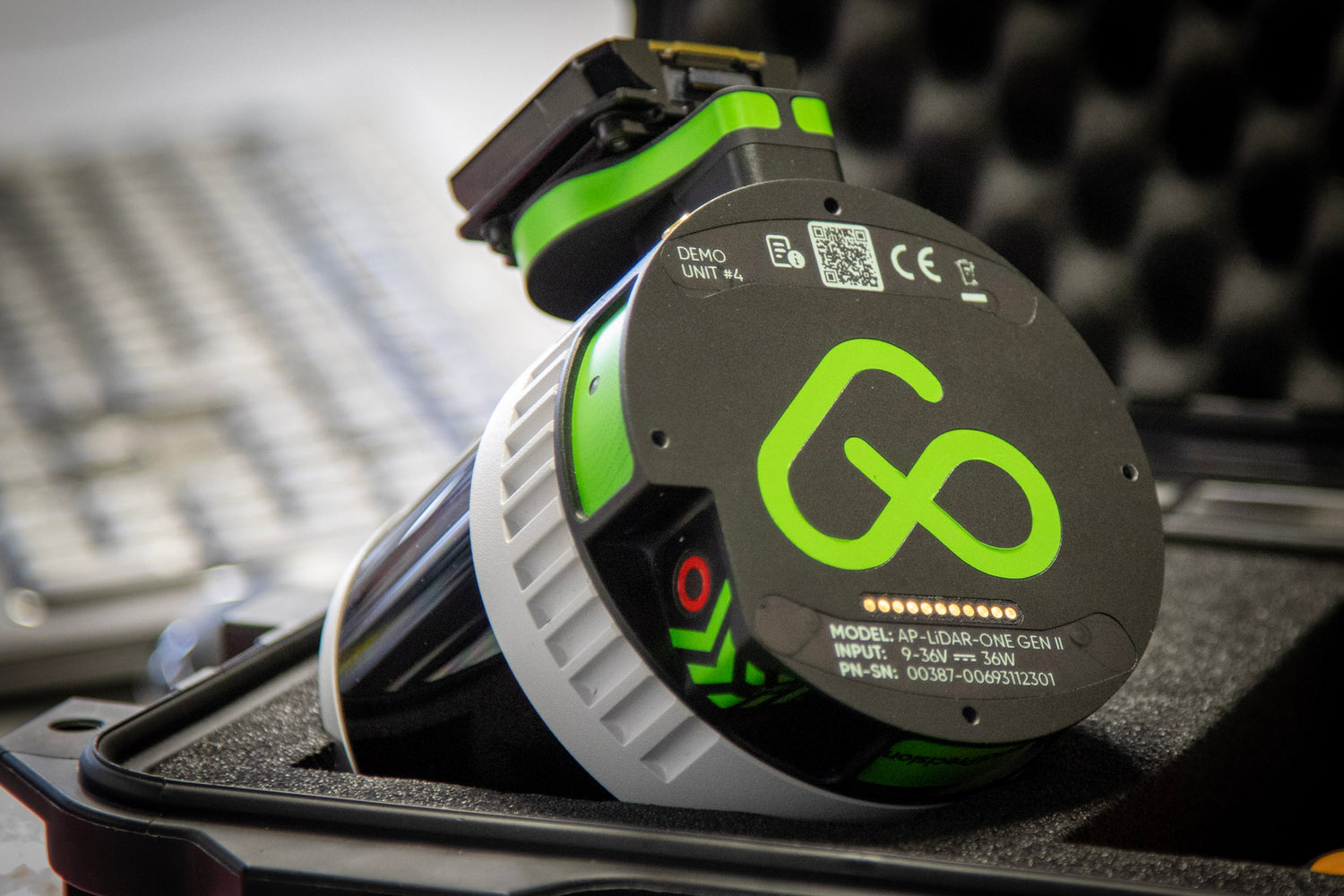
Choosing the right LiDAR system doesn't have to be complicated. At Aerial Precision, we combine advanced technology with ease of use to provide the most efficient solutions. Our AP-LiDAR-M Gen II and AP-LiDAR-One Gen II systems are designed to deliver survey-grade accuracy with seamless on-site processing capabilities.
With our integrated software, you can process LiDAR data directly in the field, eliminating the need for cloud-based solutions or internet connections. This ensures faster results without compromising data quality or privacy. From vegetation penetration to dense urban mapping, our sensors provide the flexibility and reliability you need to do the job efficiently.

Finding the Perfect Fit
Choosing the best LiDAR for your project involves understanding your needs, evaluating technical specifications, and considering the application. Whether you're working in surveying, construction, or renewable energy, selecting the right system ensures efficiency, accuracy, and success.
Are you looking for the perfect LiDAR system for your next project? Contact us today to explore our range of cutting-edge solutions tailored to your unique requirements. Transform your workflows with our state-of-the-art sensors and seamless on-site processing capabilities.


