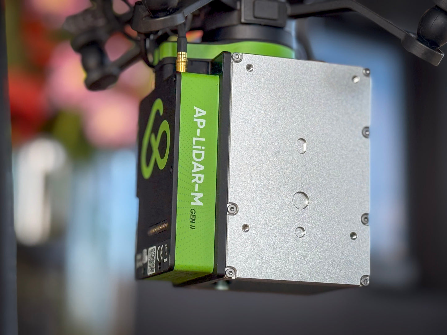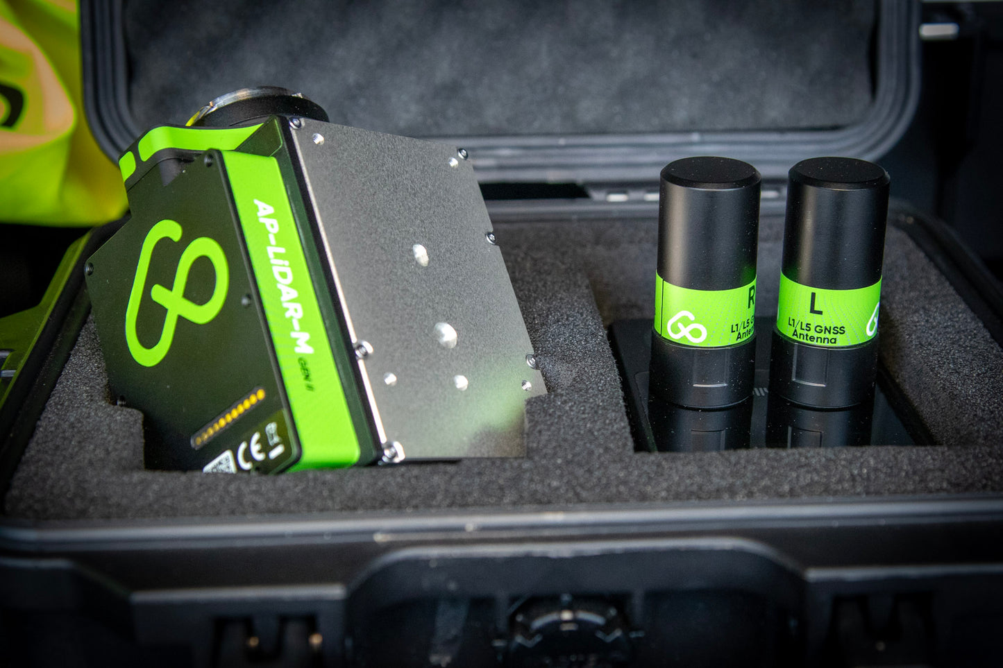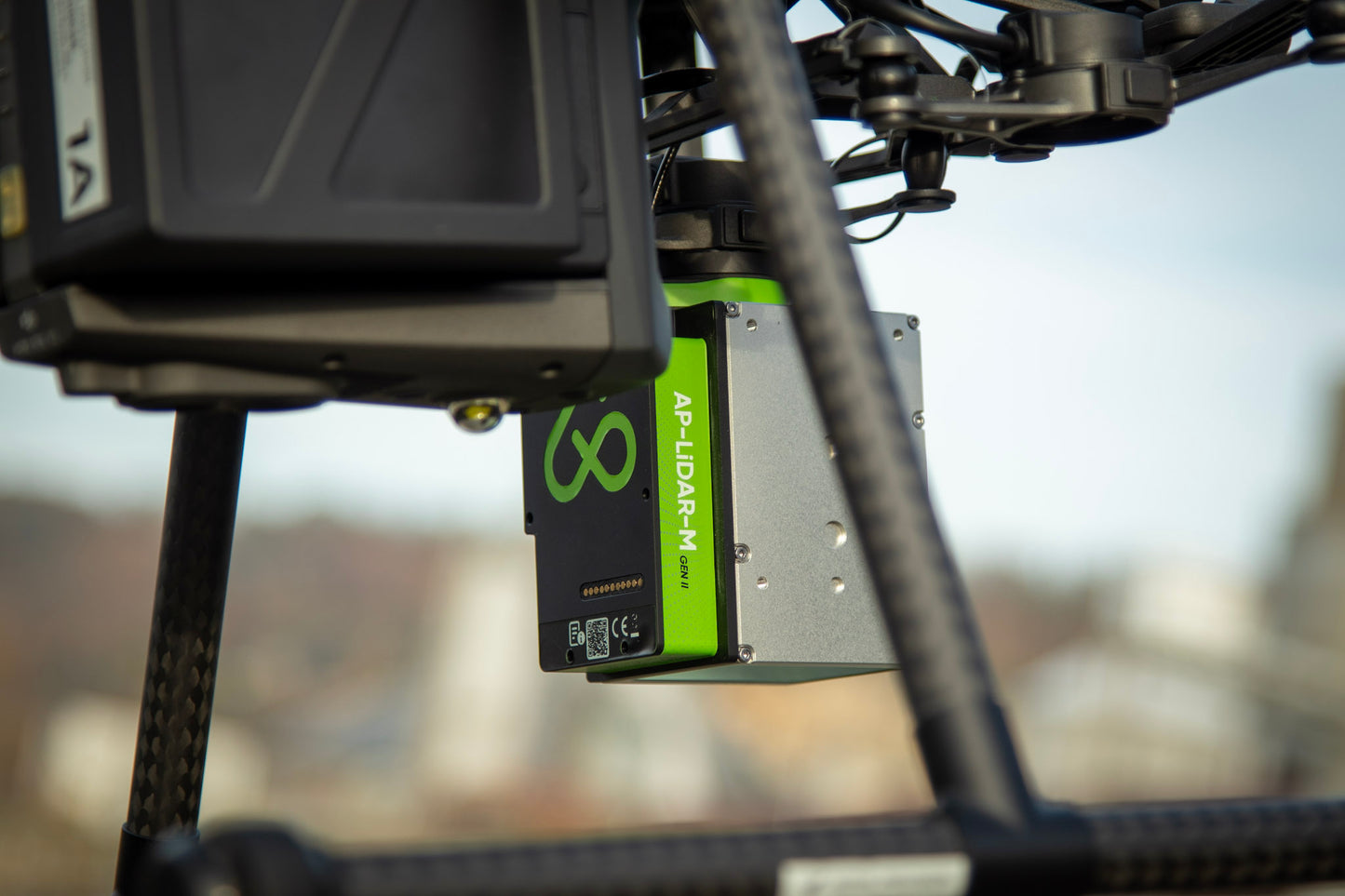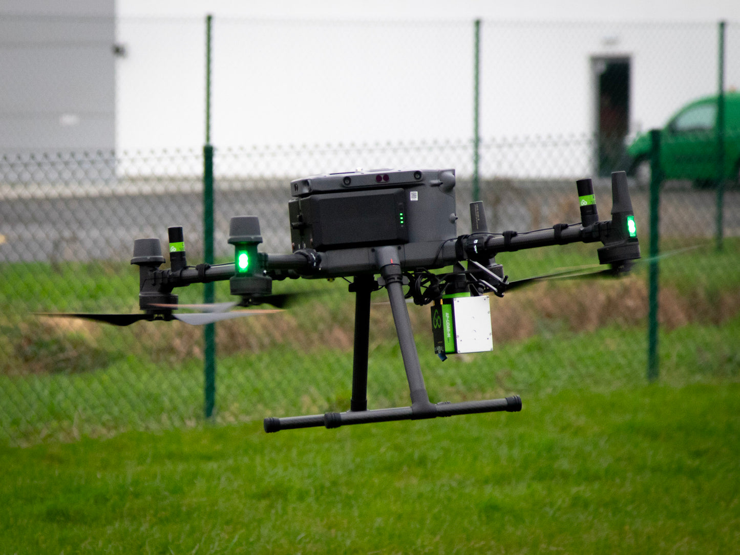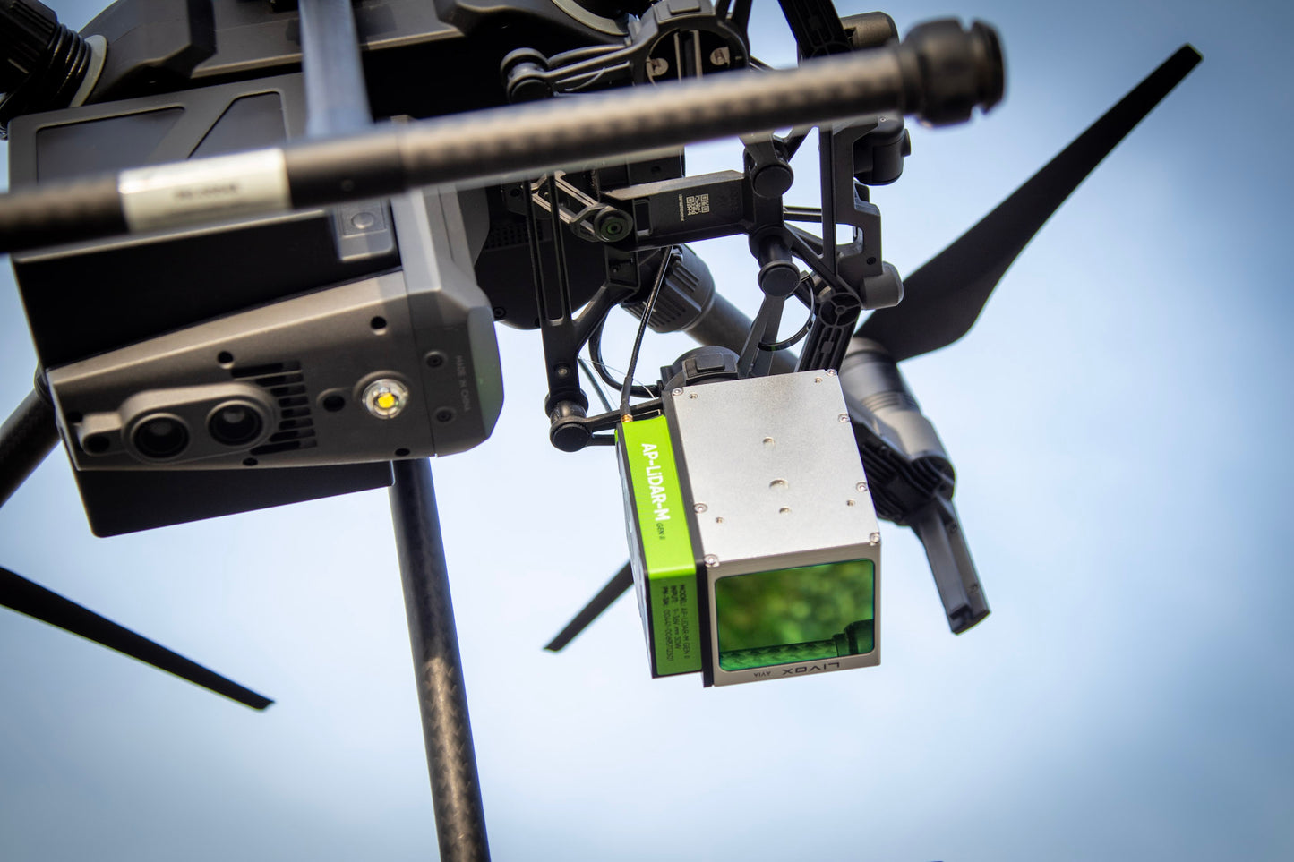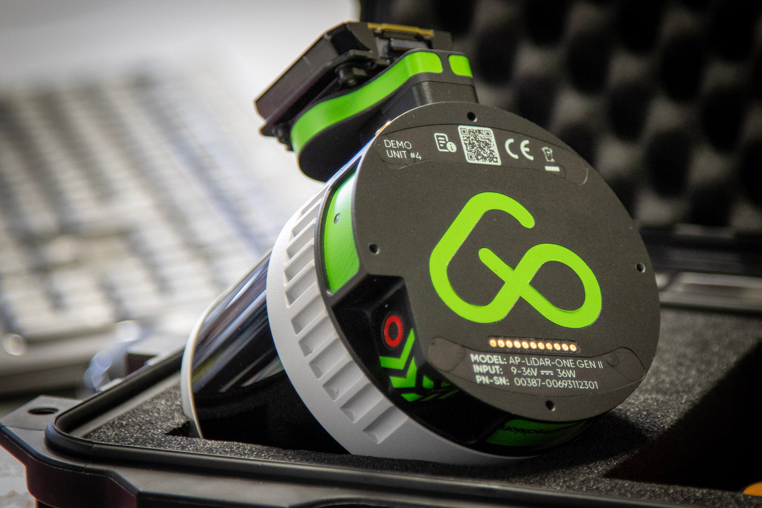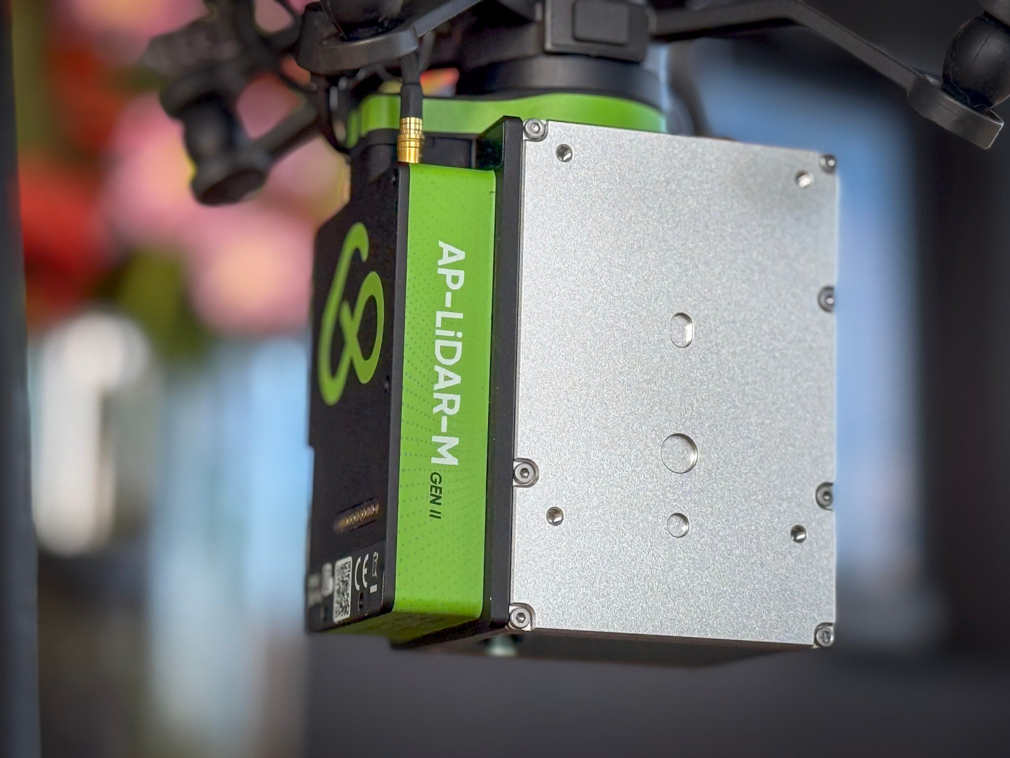
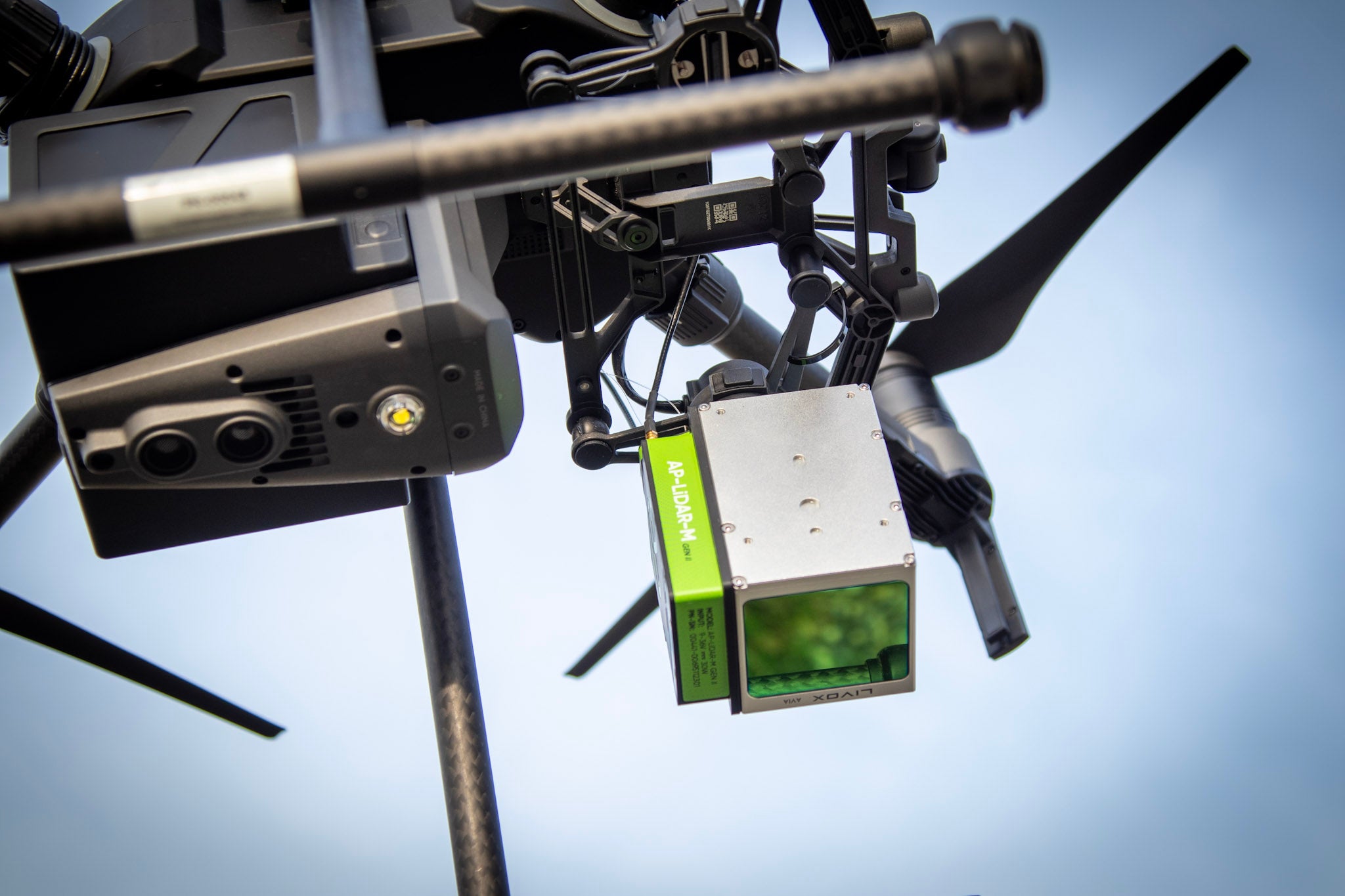
AP-LiDAR-M GEN II
Entry-level LiDAR sensor for Aerial 3D mapping
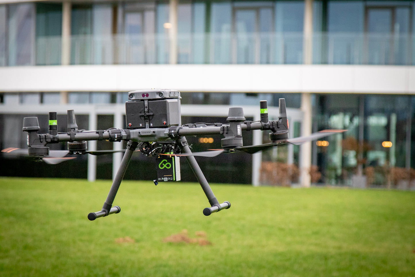
The ultimate solution for fast and accesible on-site 3D LiDAR mapping, seamlessly integrated into the DJI M350, Freefly Astro or any other drone.
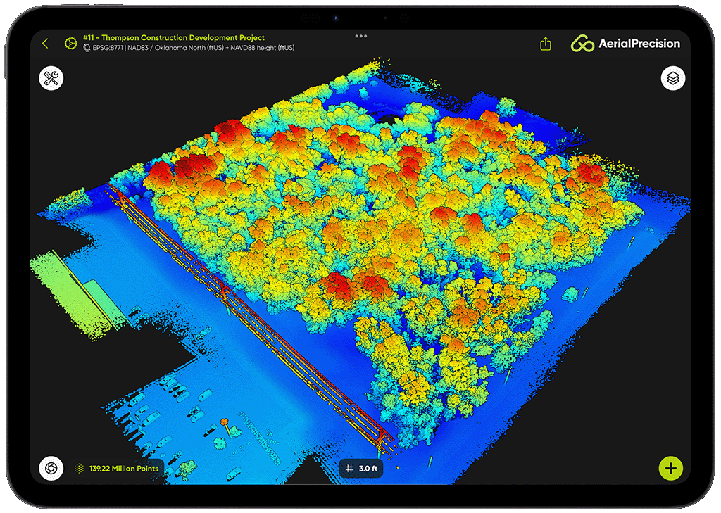
Process your LiDAR data on-site in minutes, no internet, no cloud, no limits.
Unleashing Accuracy, Versatility, and Efficiency in Every Mission
-
6 lasers channels
-
5 cm (2 in) System Accuracy
-
Triple Returns
-
On-Site Processing
-
450 m range
-
70° x 77° FOV
-
Dual L1/L5 GNSS Receivers
-
No Calibration Flights Required
-
Colorize with RGB, Thermal or Multispectral
-
REC Button
-
USB-C
-
690 grams
THE SIMPLEST LiDAR WORKFLOW
Achieve faster, more efficient LiDAR surveys with our streamlined workflow. From capturing millions of data points to generating survey-grade point clouds, we've simplified the entire process so you can focus on results, not complexities.
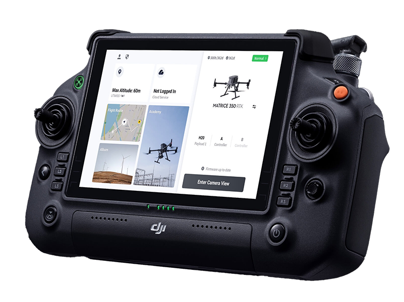
PLAN YOUR MISSION LIKE A PRO
Use your preferred mission planning app to map out your survey.
Set the altitude between 10 and 150 meters.
Adjust the lateral overlap to match the flight track separation for optimal coverage.
Choose a speed between 1 and 15 m/s to balance point density and mission duration.
This ensures precision and efficiency, whether you're surveying dense vegetation or urban landscapes.
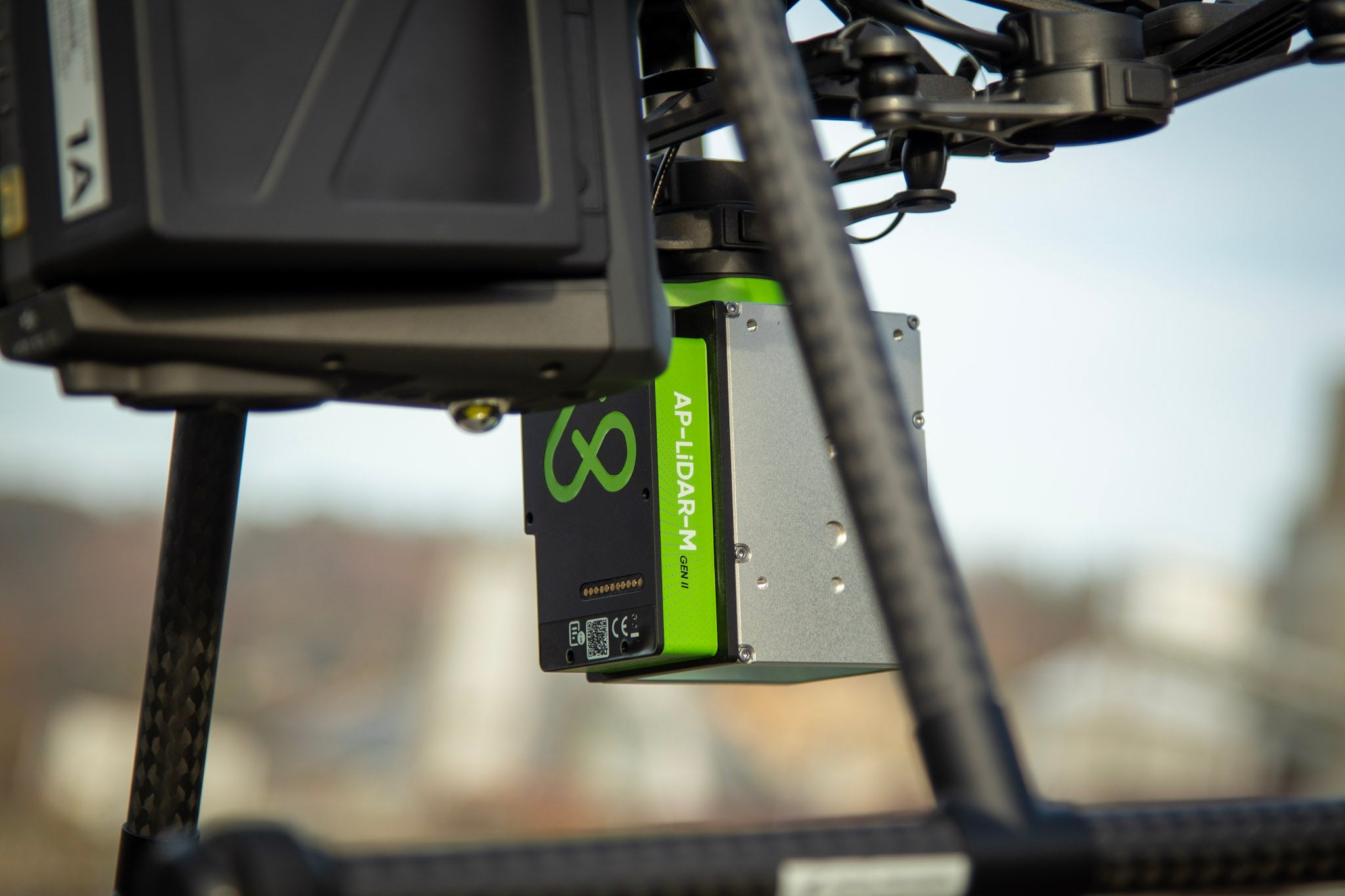
PRESS RECORD & TAKE-OFF
With a single press of the REC button, you're ready to collect up to 1.9 million points per second.
The system automatically syncs IMU, GNSS, and LiDAR data, storing it securely on the USB-C flash drive.
Spend less time worrying about equipment and more time focusing on your mission.
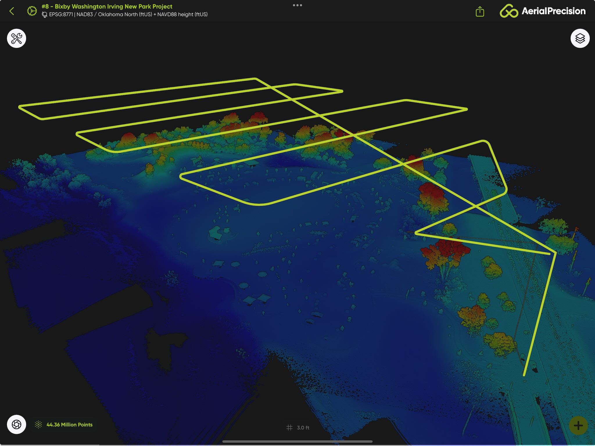
SKIP CALIBRATION - FLY FREELY
Forget about time-consuming calibration passes or tricky flight patterns.
Take off vertically, fly directly to your first waypoint, and start surveying immediately.
Our advanced processing ensures that strips align perfectly every time.
This streamlined approach saves time and boosts efficiency, giving you flawless results faster.
SECURE YOUR DATA IN SECONDS
After landing, simply press STOP to finalize the recording. Your data is instantly saved to the USB-C flash drive and fully prepared for processing.
PROCESS THE LiDAR DATA ON-SITE IN MINUTES
Don't wait to get back to the office. While still on-site, use our app to import the data from the USB-C flash drive into a new project.
Add the ground station's RINEX file for the GNSS post-processing.
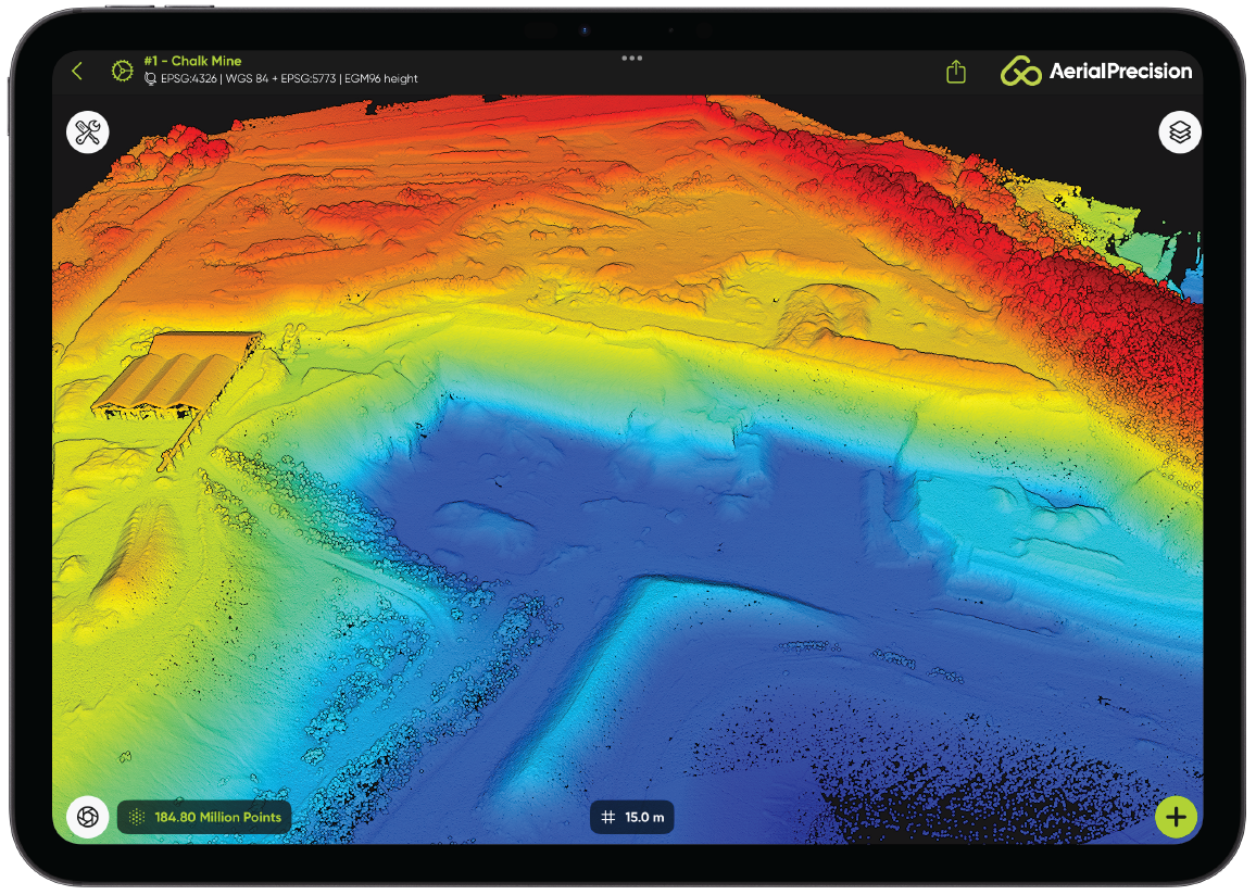
In just a few minutes, a highly accurate, dense point cloud is produced and ready for analysis. It has never been easier to verify and check that the dataset is full and complete.
Whether it's vegetation mapping, terrain modeling, or infrastructure inspection, you'll have actionable insights on the spot.
WHY CHOOSE THIS WORKFLOW?
Our LiDAR workflow isn't just simple - it's revolutionary. With no calibration, effortless data capture, and rapid on-site processing, you'll save time while achieving survey-grade accuracy every time.
Stop waiting. Start surveying smarter today.
TECHNICAL SPECIFICATIONS
-
LiDAR Sensor
- 6 LiDAR channels
- 450 m range
- 70° x 77° field of view
- 3 laser returns
- ± 5 cm system accuracy
- 2.0 cm precision
- 720,000 points per second
-
INS
- Industrial IMU with 1°/hr gyroscopes
- Dual Antenna L1/L5 GNSS system
- GPS, GLONASS, Galileo and BeiDou
- RTK and PPK capable
- 2,000 Hz INS solution
-
Mechanical
- -10 °C to 40 °C
- 9V – 36V DC input voltage
- 20 W typical, 30 W peak
- 83 x 65 x 91 mm
- 690 grams
-
Includes
- 256 GB USB-C Flash drive
- Storage case
- Onboarding
- 1 year of technical support
- Processing software.
-
Processing Software
- Aerial Precision app
SAMPLE DATA
To truly appreciate the excellence of our sensor and the exceptional performance of our app, simply install our app and import any of the sample point clouds into a new project. Just follow these simple steps:
Install the Aerial Precision app
Search on the Apple App Store for 'Aerial Precision' or click on the link below.
Create a New Project
Launch the app and create a new project. Give it a name and leave the default coordinate reference system.
Download a sample point cloud
Download any of the point clouds below from your device.
Import the LAZ File
In the new project, Import the downloded laz and enjoy the user experience!
-

Droneport with AP-LiDAR-M Gen II
Detailed point cloud of Droneport, location of our Belgium office, featuring more than 100 million points captured in under 12 minutes and processed in just 8 minutes with an iPad...
Droneport with AP-LiDAR-M Gen II
Detailed point cloud of Droneport, location of our Belgium office, featuring more than 100 million points captured in under 12 minutes and processed in just 8 minutes with an iPad...
-

Open Chalk Mine with AP-LiDAR-M Gen II
Extensive point cloud featuring an open chalk mine with a vertical wall of more than 40 m with millions of points captured in under 24 minutes and processed in just...
Open Chalk Mine with AP-LiDAR-M Gen II
Extensive point cloud featuring an open chalk mine with a vertical wall of more than 40 m with millions of points captured in under 24 minutes and processed in just...
Aerial Precision
AP-LiDAR-M GEN II
Share
