Beyond mapping: how LiDAR is transforming industry standards
Ana Rouxinol
Long associated with mapping and topographic surveys, LiDAR technology has branched far beyond traditional applications over the last couple of decades to transform industries that rely heavily on safety, automation, and efficiency.
From self-driving cars and smart cities to construction site monitoring and industrial automation, LiDAR is a game-changer. This article explores how professionals across various sectors leverage LiDAR for more than just mapping and why it might be missing when optimizing your workflow.
LiDAR for safety: preventing accidents before they happen
Of all the critical advantages LiDAR has, better real-time situational awareness is the most important. Whether detecting obstacles on the factory floor, preventing collisions with autonomous vehicles, or enhancing worksite safety, LiDAR can provide the precision needed to reduce risk and save lives.
Industries benefiting from LiDAR-driven safety measures:
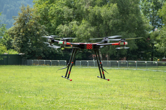
• Autonomous Vehicles & Transportation: LiDAR sensors enable self-driving cars to navigate complex environments, detect pedestrians, and avoid collisions even in low-light conditions.
• Construction & Infrastructure: it scans LiDAR around the site, which monitors integrity, hazards, and safety concerns according to compliance codes.
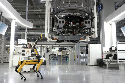
• Industrial Automation: factories use LiDAR collision avoidance systems for robotics and automated machinery.
LiDAR for efficiency: cost reduction and productivity increase
Along with safety, LiDAR smoothes out the workflow and reduces operation costs. With high-resolution 3D point cloud data, inefficiencies can be reduced, and planning can be improved to reduce industry waste.
How LiDAR improves efficiency in different sectors:
• Smart Cities and Traffic Management: LiDAR helps monitor the flow of traffic and congestion points, thereby improving urban planning.
• Logistics and Warehousing: LiDAR is used by warehouse automation systems to optimize inventory management and guarantee smooth navigation for autonomous robots.
• Agriculture and Forestry: LiDAR analyzes vegetation density and land elevation to assist in crop health monitoring, precision farming, and forest management.
The future of LiDAR: what's next?
With advancements in AI-powered LiDAR processing, solid-state LiDAR, and lower production costs, this technology is becoming more accessible and scalable. Future trends indicate that LiDAR will play a key role in urban mobility, environmental monitoring, and AI-driven automation.
Emerging trends to watch:
• Integration with AI and Machine Learning: automating real-time decision-making with LiDAR-based analytics.
• Miniaturization and Cost Reduction Making: LiDAR sensors are more affordable and accessible for smaller businesses.
• Sustainability and Environmental Monitoring: using LiDAR to track climate change, detect deforestation, and optimize resource management.
In conclusion, LiDAR is not just for mapping anymore. It's a disruptive, multi-industry, game-changing technology that improves safety, efficiency, and innovation. Whether transportation, logistics, construction, or thoughtful city planning, using LiDAR level best may be your differentiator in outpacing your competition.
As technology advances, professionals adopting LiDAR-driven solutions today will be better positioned to tackle tomorrow's challenges.
Unlock the potential of advanced LiDAR solutions!
Dive into Aerial Precision's cutting-edge LiDAR sensors, which are expertly designed for professionals who demand accuracy, efficiency, and unwavering reliability. Experience innovation that elevates your projects to new heights!