

Are your LiDAR maps truly accurate? The key difference you might be missing
Ana Rouxinol
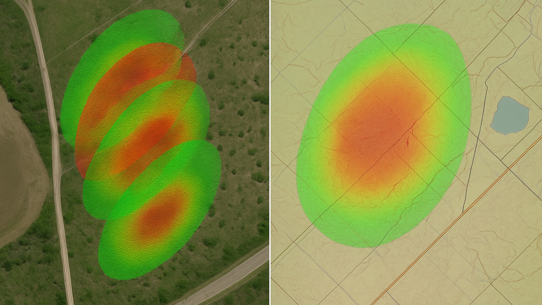
When it comes to LiDAR, accuracy is everything. Whether you're mapping a construction site, surveying terrain, or managing assets, the quality of your LiDAR data directly affects the outcomes of your work. However, "accuracy" can mean different things depending on the context, especially when discussing absolute and relative accuracy.
Let's break down what these terms mean, why they matter, and how they affect your LiDAR-based projects.
What is absolute accuracy?
Absolute accuracy refers to how closely the LiDAR data points match their true position in the real world, typically measured against a known coordinate system (such as WGS84 or NAD83). It's about the data's global correctness.
Imagine scanning a city block, and your point cloud places a streetlight exactly where it is in reality, within a few centimetres of its proper position on Earth. That's high absolute accuracy.
In LiDAR workflows, absolute accuracy depends on:
- GNSS positioning
- IMU calibration
- Sensor alignment
- Ground control points (GCPs)
- Post-processing corrections (e.g., PPP or RTK)
Use cases that require high absolute accuracy:
- Land surveys
- Construction layout
- Topographic mapping
- Utilities and infrastructure management
What is relative accuracy?
Relative accuracy refers to the consistency of measurements within a dataset, regardless of their global position. Simply, it tells you how accurately features are positioned relative to each other.
In a LiDAR scan of a building, if all the walls, windows, and doors are placed in the correct positions relative to one another, but the whole structure is shifted a few centimetres in global coordinates, you have good relative accuracy but lower absolute accuracy.
In LiDAR workflows, relative accuracy is influenced by:
- Sensor resolution
- Flight path overlap
- Data stitching and alignment
- Local motion stability during scanning
Use cases where relative accuracy is more critical:
- Volume calculations (e.g. stockpiles, landfills)
- Change detection and monitoring
- 3D modelling for BIM and VFX
- As-built documentation
Why the distinction matters
When selecting a LiDAR sensor or evaluating a point cloud dataset, it's crucial to understand the accuracy your project requires.
For example:
- Surveyors need tight absolute accuracy to integrate data with real-world coordinates.
- Construction teams may prioritise relative accuracy to monitor structural integrity or track changes over time.
How our LiDAR sensors handle accuracy
At Aerial Precision, AP-LiDAR-One Gen II and AP-LiDAR-M Gen II are designed to deliver high relative accuracy by default, with absolute accuracy that can be enhanced through GNSS corrections and post-processing.
Our seamless integration with RTK, dual GNSS antennas, and advanced onboard processing helps ensure your datasets are detailed and precisely placed worldwide.
In summary, understanding absolute and relative accuracy in LiDAR mapping can help you choose the right tools, workflows, and expectations for your project. Both metrics are important, but the one that matters most depends on what you are trying to achieve.
Need help deciding which level of accuracy your project requires? Get in touch with our team today!


