LiDAR for B2B vs. B2C: What's the difference, and why it matters
Ana Rouxinol
LiDAR (Light Detection and Ranging) has become one of the most versatile technologies of the past decade. From autonomous vehicles to smartphones, industrial drones to home robotics, LiDAR is being integrated into more applications than ever. However, depending on the use case, the expectations placed on the technology can vary greatly.
This divide is most clearly seen when comparing LiDAR in the B2B (business-to-business) space versus LiDAR in the B2C (business-to-consumer) space. While both involve the same fundamental principle, measuring the distance with laser pulses, the context in which LiDAR is used changes everything, from hardware requirements to software integration and how users interact with the data.
Goals and expectations
In B2C applications, LiDAR is typically used to enhance user experience. Think of a smartphone using LiDAR to improve augmented reality filters or a robot vacuum using it to avoid bumping into furniture. In these scenarios, the end user doesn't care how the technology works, just that it does. The goal is convenience, speed, and automation, not accuracy or data ownership.
In contrast, B2B LiDAR is often mission-critical. Businesses rely on it to perform tasks like surveying large areas, inspecting infrastructure, modeling terrain, or managing industrial assets. Here, accuracy is non-negotiable, and the stakes are higher. A construction firm, for example, may use LiDAR data to make design or safety decisions. The expectation is not just that it works but that it works with precision, consistency, and complete control.
Data depth and accessibility
An additional key difference exists in the way users work with the data. LiDAR outputs are typically processed in the background and reported to users through pre-determined applications in consumer environments. This process has little to no access to the raw data, which is intentional. It's really about simplicity and effortless user experience.
In professional use, the data is the product. Engineers, surveyors, and analysts need access to raw point clouds, options for different coordinate systems, and the ability to integrate data with other tools or GIS platforms. They also need to ensure repeatability and accuracy in varied environments.
This difference in data handling is why professional users gravitate toward more robust and configurable LiDAR systems specifically built to meet these expectations.
Hardware and integration
From a hardware perspective, consumer LiDAR sensors are usually compact, low-power, and integrated into a broader product. They're optimized for cost, simplicity, and portability. Range and resolution are secondary concerns.
Professional LiDAR systems, on the other hand, are built for performance. They offer a more extended range and higher point density and often include additional components like GNSS antennas and IMUs. These sensors are also designed to integrate with professional workflows, including drones, vehicles, and enterprise-grade processing software.
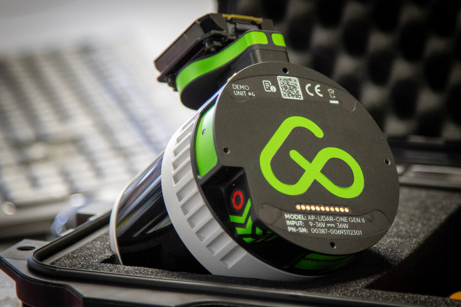
Aerial Precision, for example, the AP-LiDAR-M Gen II is an entry-level option for professionals starting with 3D mapping. At the same time, the AP-LiDAR-One Gen II is designed for users who require higher-end performance across more demanding environments.
Use cases
The divide also shows up in real-world applications.
B2C LiDAR use cases include:
- Smartphone AR
- Indoor navigation (e.g., robot vacuums)
- Basic obstacle detection in consumer drones
B2B LiDAR applications include:
- Land surveying and topographic mapping
- Forestry and vegetation analysis
- Construction site monitoring
- Infrastructure inspection
- Precision agriculture
- Environmental monitoring
Each professional application demands more from the sensor, from higher accuracy and extended range to custom data processing and integration into industry-specific workflows.
Cost vs. Value
Consumer LiDAR is typically bundled into mass-market products and priced accordingly. However, its value is also limited to the features those products offer.
Professional LiDAR requires a higher upfront investment, but it offers a return on investment through operational efficiency, better data, and smarter decision-making, in industries where time, safety, and accuracy matter, professional LiDAR more than justifies its cost.
As LiDAR continues to evolve, the line between B2B and B2C may blur, but the differences in goals, expectations, and outcomes remain significant. Whether you're using LiDAR to enhance an app or to drive a critical business process, understanding these distinctions helps ensure you're using the right tool for the job.
At Aerial Precision, we design LiDAR solutions with professional users in mind, whether you're taking your first step into 3D mapping or scaling operations with advanced hardware. Explore our sensors and discover which one best fits your workflow.


