What is LiDAR?
Ana Rouxinol
LiDAR is rapidly transforming industries like surveying, construction, forestry, and infrastructure management, but we've noticed that only some are familiar with the technology and its full potential. While we've been showcasing LiDAR in various trade shows, many visitors still had questions about what it is, how it works, and what makes our LiDAR sensors at Aerial Precision the best in the market. This blog post is designed to explain exactly what LiDAR is and why our on-site LiDAR mapping solutions are revolutionizing workflows by offering the best combination of speed, accuracy, and convenience.
What is LiDAR?
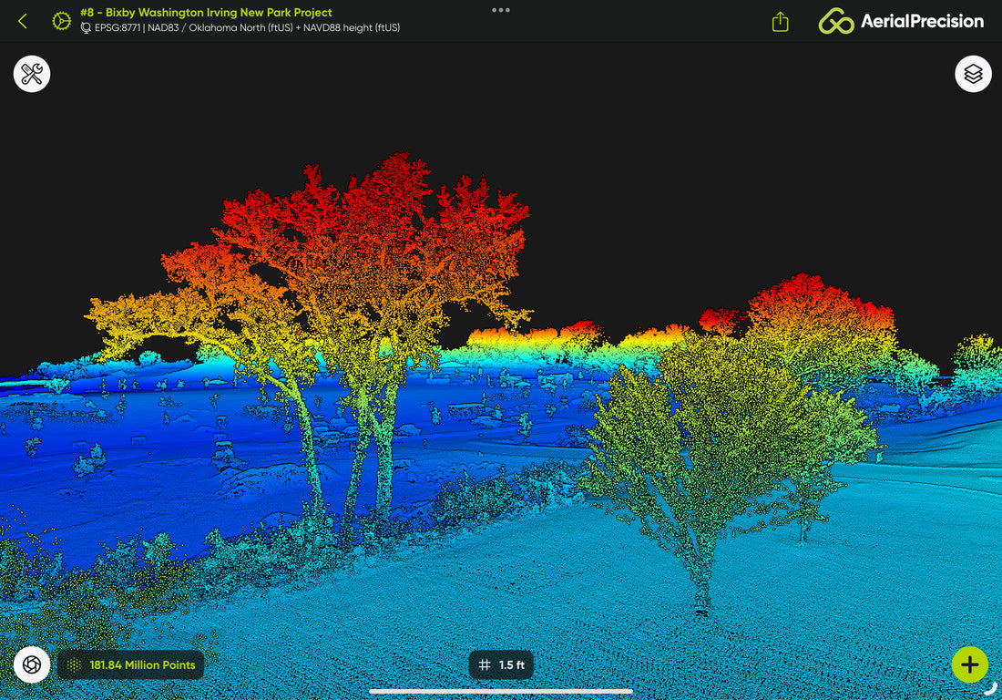
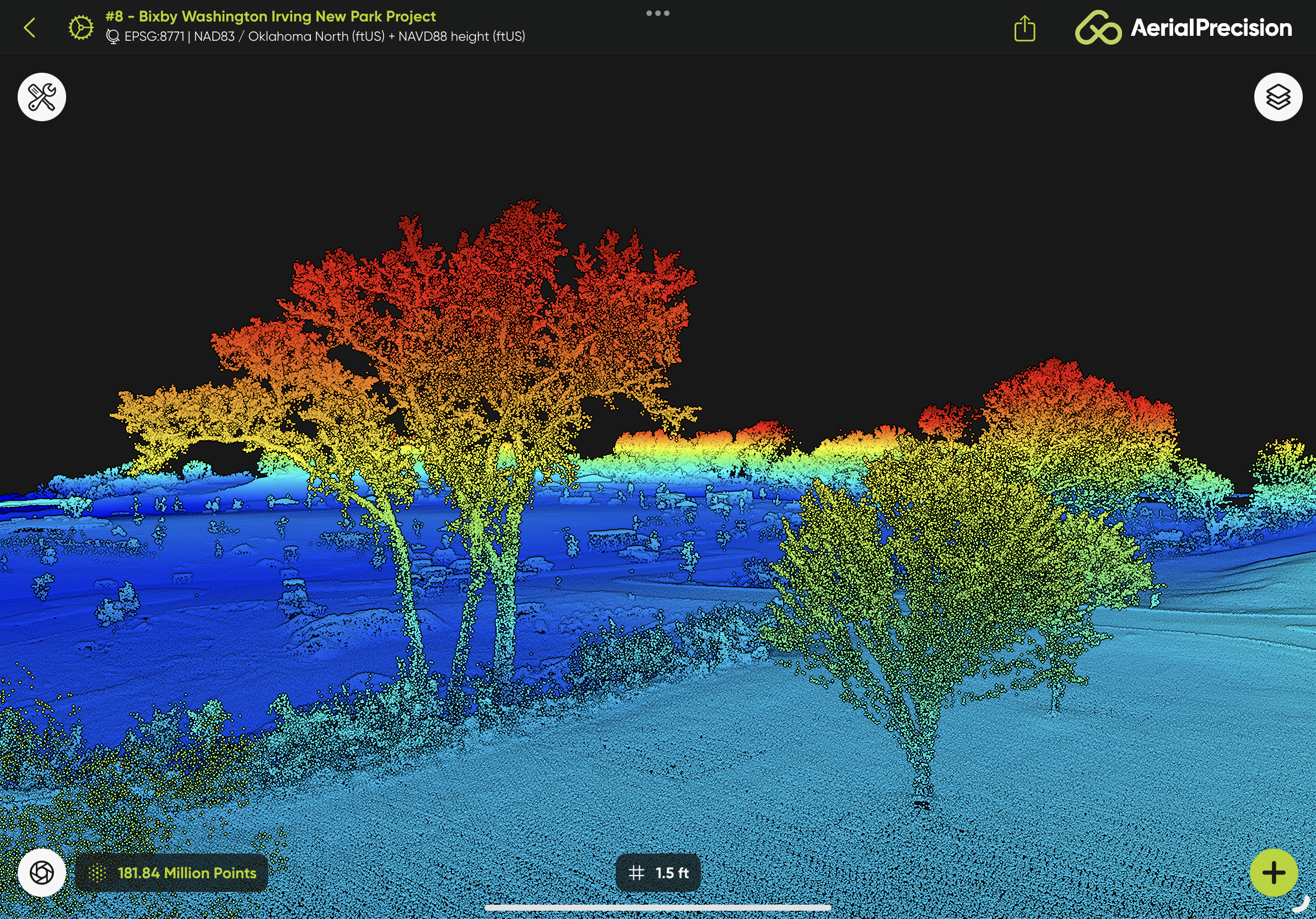
LiDAR stands for Light Detection and Ranging. It's a remote sensing technology that uses laser light to measure distances to objects and surfaces. A LiDAR sensor emits thousands of laser pulses per second, and when those pulses hit an object, whether it's the ground, a tree, or a building, they bounce back to the sensor. LiDAR creates a highly accurate 3D map or point cloud of the scanned environment by measuring the time it takes for the pulses to return.
Think of it as a 3D laser scanner that can map everything around it but with millimeter-level precision.

Key Components of a LiDAR System
A typical LiDAR system consists of:
- Laser emitter: Sends out the laser pulses.
- Sensor: Receives the returning laser pulses.
- GPS and IMU: Determines the precise location and orientation of the LiDAR unit, ensuring accuracy in mapping.
- Processor: Converts the data into a 3D point cloud for analysis.
While the technology can be complex, its result is simple: a precise, detailed 3D representation of the world around you.
How LiDAR is Used in Different Industries
LiDAR has become indispensable in various fields because it can quickly and accurately capture large areas of data, whether in dense forests, city landscapes, or construction sites.
- Surveying and Geospatial Mapping: LiDAR creates accurate topographic maps, especially in areas where traditional surveying techniques might be challenging or time-consuming.
- Forestry and Agriculture: LiDAR can measure tree height, analyze canopy density, and even assess crop health by providing detailed data about plant structure.
- Infrastructure and Construction: From assessing road conditions to mapping building sites, LiDAR helps professionals plan and monitor construction projects.
- Energy and Utilities: LiDAR aids in powerline inspections, ensuring safety and compliance by detecting vegetation encroachment and structural damage.
- Autonomous Vehicles: LiDAR is one of the critical technologies used in self-driving cars for obstacle detection and navigation.
Why On-Site 3D LiDAR Mapping is a Game-Changer
Traditionally, LiDAR scans are processed back in the office, which could take hours or even days before the data is ready for analysis. With Aerial Precision's on-site 3D LiDAR mapping, we've turned this workflow on its head.
Imagine this: you've scanned a construction site or a section of forest, and within minutes, you already have the data processed and ready for review on-site. There is no need to return to the office and wait for post-processing. You can verify your scans on the field, make any adjustments if needed, and finish your project faster.
The Efficiency of Aerial Precision's LiDAR Solutions
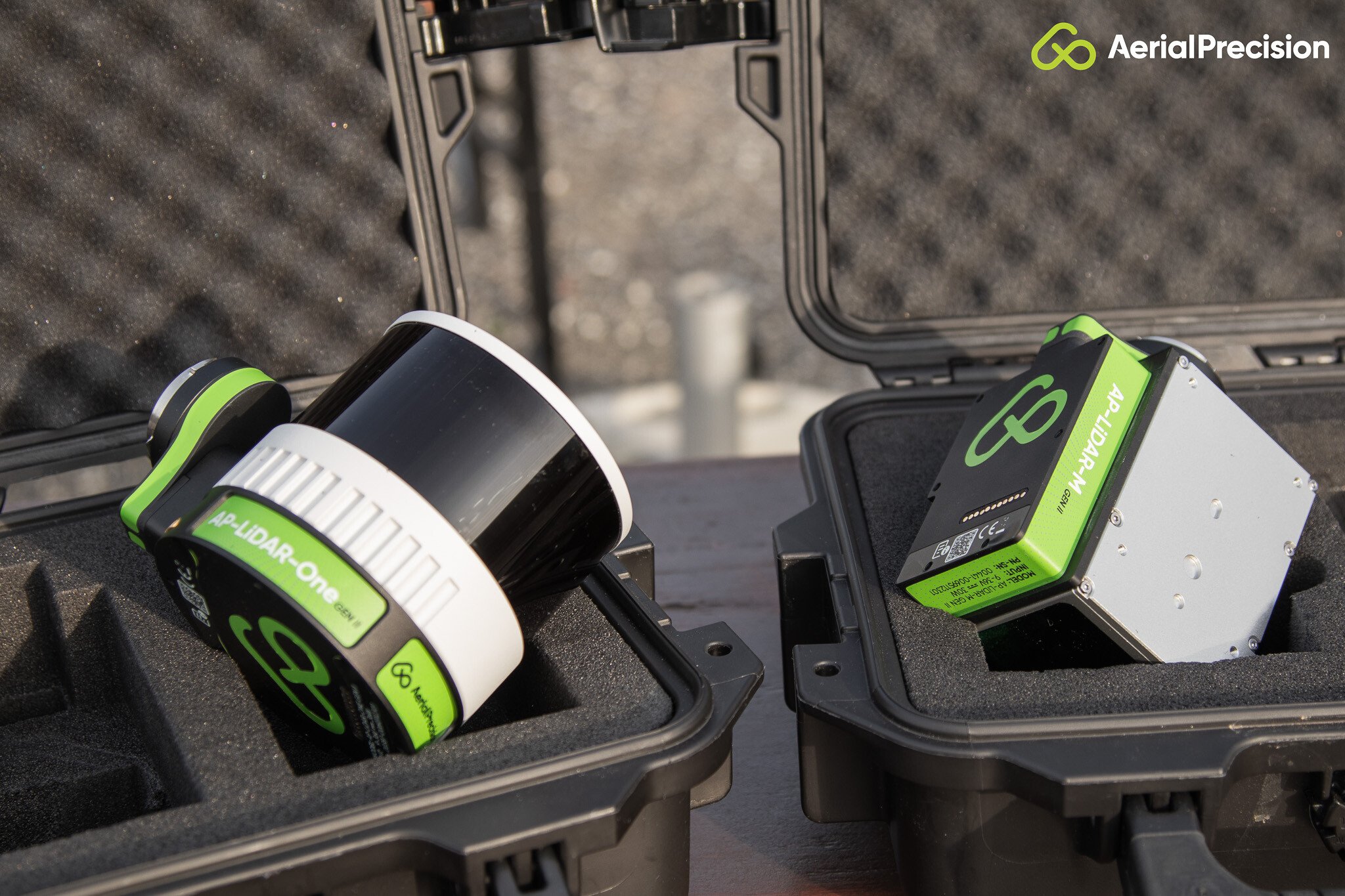
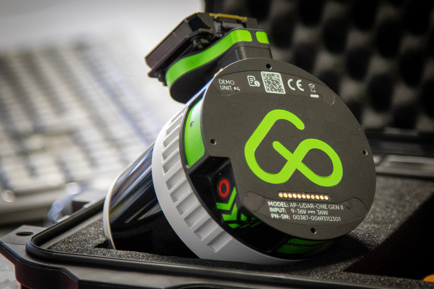
Time is money, and Aerial Precision is all about helping you save both. Our LiDAR sensors, like the AP-LiDAR-One Gen II and AP-LiDAR-M Gen II, are designed to make your job easier without sacrificing quality. Here's how:
- Edge Processing: Our sensors are built for on-site processing. You can map out large areas, instantly process the data on-site, and export it without needing a team back at the office to handle it. This speeds up the workflow and ensures you can verify your results immediately.
- Faster Workflows: Traditional methods of LiDAR mapping require significant time to post-processing. With our technology, you can drastically reduce the time spent on data handling. You'll spend less time in the field and even less time waiting for data to be processed.
- No Compromise on Quality: Just because it's faster doesn't mean you lose any detail. Our sensors maintain the highest quality standards, offering accurate, high-resolution 3D maps that meet the needs of the most demanding industries. Whether you're inspecting infrastructure, managing a forest, or mapping a building site, our sensors deliver.
- Portability and Convenience: Our sensors are lightweight and designed for mobility. You don't need a massive setup to perform professional-level LiDAR mapping. Whether using a drone or mounting the sensor on a vehicle, our technology is easy to transport and deploy, even in the most remote areas.
- Cost-Effective: Because you're cutting down on person hours, post-processing time, and rework, our on-site LiDAR systems save you money in the long run. Plus, the ability to review data on-site reduces the likelihood of needing repeat surveys, further increasing your operational efficiency.
- No Internet or Cloud Dependency: Our Aerial Precision app, included with the sensor at no extra cost, works entirely offline. This means you don't need an internet connection to process or analyze your data. Whether in the field or remote locations, the app provides all the tools to deliver fast and accurate results without relying on cloud-based services.

Why Choose Aerial Precision?
There are many LiDAR systems available, but here's why Aerial Precision stands out:
- Custom Solutions: We understand that every project is unique. Our systems are designed to integrate seamlessly into your workflow, whether you're working on an aerial or ground-based project.
- State-of-the-Art Technology: Our LiDAR sensors are built with the latest advancements in laser technology, ensuring high-resolution point clouds without the bulk or cost of older systems.
- On-Site Processing: As mentioned, our on-site processing capabilities allow you to analyze data immediately, streamlining your project timeline and reducing delays.
- No Hidden Fees: The Aerial Precision app is included with your sensor, with no hidden fees or extra costs for usage. You get everything you need upfront, making it a cost-effective solution for your business.
-
Expert Support: Our team is here to help you maximize your investment. We offer comprehensive support to ensure you get the best possible results from our technology.
The Future of LiDAR and On-Site Mapping
As industries continue to push for faster, more efficient solutions, LiDAR will become even more essential. With innovations like on-site processing, we're already moving toward a future where complex mapping and surveying tasks can be completed in hours, not days, without losing accuracy or quality. The ability to take your office into the field with high-precision data at your fingertips is a game-changer for anyone involved in mapping, infrastructure, or environmental monitoring.
LiDAR is a powerful tool that has revolutionized the way we map and measure the world. However, not all LiDAR systems are created equal. At Aerial Precision, we've built our sensors focusing on speed, accuracy, and on-site processing, helping you achieve more in less time.
If you're looking for a LiDAR system that offers unparalleled efficiency and convenience without compromising quality, look no further. Contact us today to learn how our solutions can transform your workflow and save you time and money in the process.


