

Mastering LiDAR mapping: key techniques for achieving accuracy and consistency
Ana Rouxinol
LiDAR technology has become the foundation of modern surveying, engineering, and geospatial analysis. From ground modeling to infrastructure appraisal or precision agriculture, the success of LiDAR mapping is dependent upon optimizing data acquisition and processing workflows.
In this article, we explore the most critical factors influencing LiDAR accuracy, covering flight planning, coordinate reference systems, GNSS integration, and post-processing strategies. We also highlight how modern LiDAR solutions simplify workflows while delivering high-accuracy results.
Flight planning: setting up for high-quality data capture
Flight planning is the foundation of an accurate LiDAR survey. To ensure the best possible results, consider the following:
Altitude and speed considerations
Lower altitudes between 50 and 100 meters above ground level suit high-resolution mapping, such as detailed urban models or vegetation studies. Higher altitudes between 100 and 300 meters are ideal for large-scale surveys, reducing flight time while maintaining sufficient point density.
Flight speed should remain consistent to prevent data inconsistencies. Generally, speeds between 5 and 10 meters per second are recommended for UAV LiDAR surveys.
Overlap and coverage
A 30 to 50 percent overlap between flight lines is ideal to avoid data gaps and ensure uniform point cloud density. Overlapping flight paths helps with strip alignment corrections during post-processing.
Sensor stability and calibration
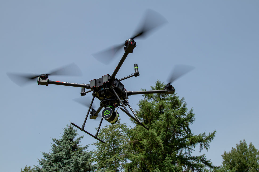
Most LiDAR sensors require periodic calibration to maintain accuracy. However, AP-LiDAR-One Gen II and AP-LiDAR-M Gen II eliminate this step by being calibration-free, reducing downtime, and simplifying deployment.
GNSS and IMU: achieving high positional accuracy
A LiDAR sensor alone is not enough to generate accurate geospatial data. GNSS (Global Navigation Satellite System) and IMU (Inertial Measurement Unit) play crucial roles in georeferencing point clouds.
Dual GNSS antennas for superior positioning
To achieve high accuracy, traditional single-GNSS setups rely on post-processing corrections such as RTK or PPK. However, dual GNSS antennas offer several advantages. These include enhanced heading accuracy, reduced angular errors, stronger satellite signal reception, and improved results in GNSS-challenging environments, especially in dynamic conditions.
IMU calibration and drift compensation
A well-calibrated IMU compensates for LiDAR motion and tilt during flight. Pre-flight IMU calibration checks should be performed to ensure optimal performance unless using a system like AP-LiDAR-One Gen II or AP-LiDAR-M Gen II that does not require calibration. Additionally, minimizing sudden drone movements helps prevent unwanted motion artifacts.
Coordinate reference systems: ensuring spatial accuracy
Selecting the correct coordinate reference system is crucial for aligning LiDAR data with existing geospatial datasets.
Global vs. local coordinate systems
Global coordinate reference systems such as WGS84 and ETRS89 are used for large-scale surveys requiring universal compatibility. Local coordinate systems such as NAD83, UTM zones, or custom projections are often needed for engineering and construction projects.
Within the Aerial Precision app, users can choose from multiple coordinate reference systems, which directly ensure compatibility with various industry standards.
Post-processing: turning raw data into actionable insights
Once data is collected, post-processing transforms raw point clouds into useful deliverables such as digital terrain models, digital surface models, and contour maps.
Georeferencing and strip adjustment
Applying PPK corrections to GNSS data helps achieve high-precision georeferencing. Using strip adjustment techniques aligns overlapping flight lines and minimizes systematic errors.
Best practices for LiDAR survey success
For optimal LiDAR mapping effectiveness, several best practices must be observed. Available GNSS signals should be monitored before deploying, especially in urban or forest cover. Bank turns must be avoided to maintain an uninterrupted flight path and avoid misaligned data. Optimal point density settings realize maximum resolution and processing time.
High-precision LiDAR mapping requires optimal flight planning, accurate GNSS positioning, flexible coordinate system selection, and efficient post-processing.
By integrating dual GNSS antennas, multiple coordinate reference systems, and calibration-free operation, AP-LiDAR-One Gen II and AP-LiDAR-M Gen II simplify workflows while maintaining industry-leading accuracy.
For experts seeking an efficient, high-accuracy LiDAR solution to unnecessary complexity, Aerial Precision provides cutting-edge technology that integrates seamlessly with modern geospatial workflows.


